 Services
 Roof Systems
 Property Types
 Industries
 Damage Repair
 Capabilities
 Manufacturers
 Service Areas
Drone Roof Inspection in Alexandria, VA
Commercial Roofing Services:
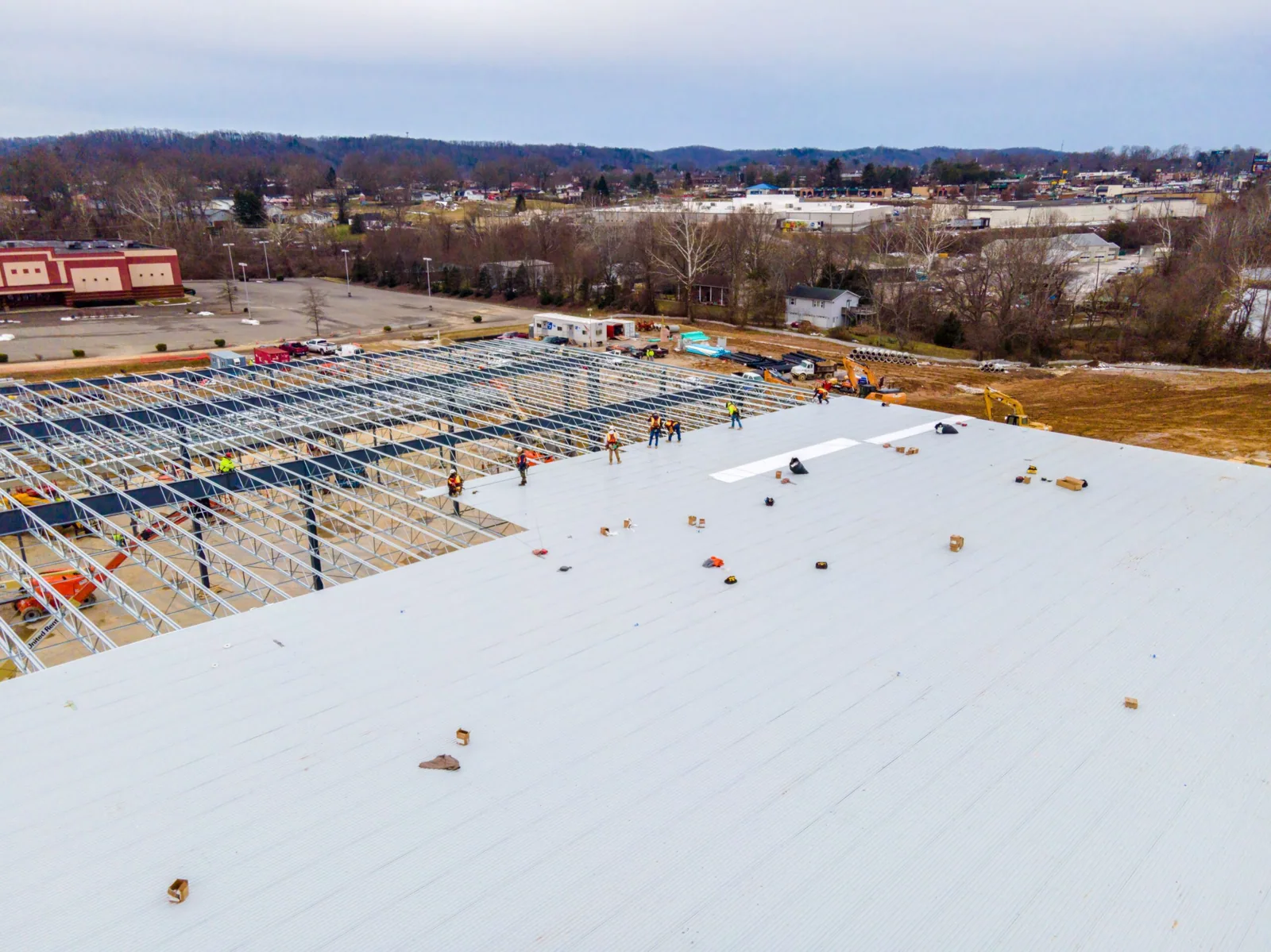
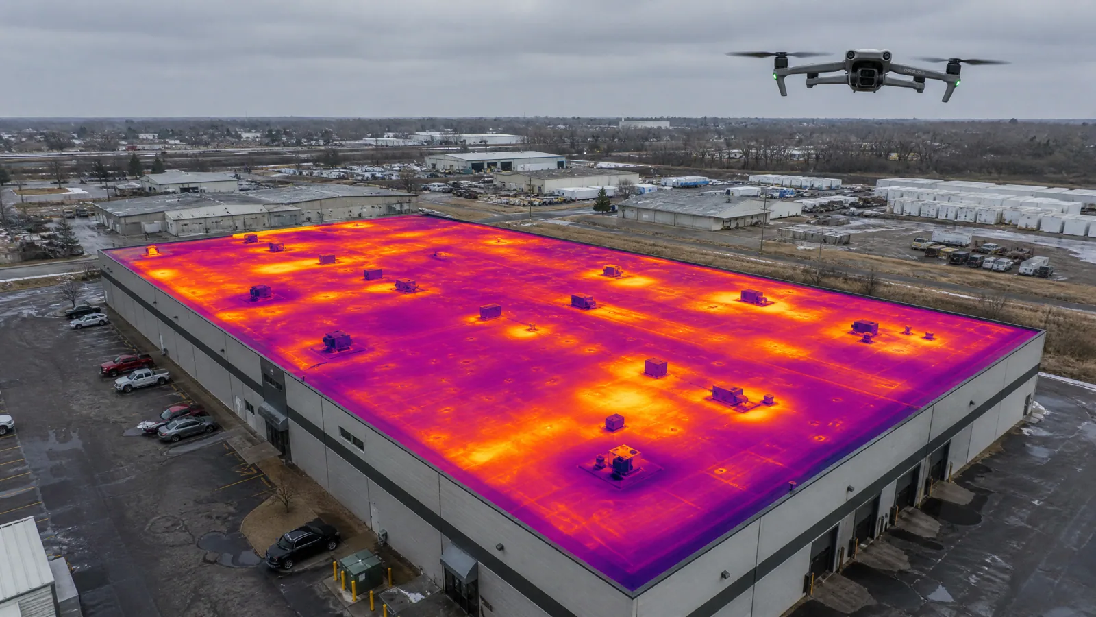
A broad office roof near Eisenhower Avenue can be hard to understand from one ladder point. Aerial images show roof geometry, equipment clusters, visible drainage patterns and areas that deserve a closer look. We use drone imaging as an inspection tool, not as a substitute for touching a seam or opening a test area. For a general contractor, the useful result is a roof map that directs hands-on checks and helps organize access before repair work begins.
Alexandria includes office and mixed-use properties around Carlyle and Eisenhower East, alongside institutional development in North Potomac Yard. Each address has its own access rules, airspace considerations and roof layout. We confirm the site conditions and the inspection objective before launch, then connect images to roof zones and field observations. If a leak is the concern, a focused leak trace remains necessary to confirm the entry point.
Drone Roof Inspection
Map What the Camera Can See
Drone imagery can capture visible membrane conditions, rooftop equipment placement, large areas of ponding, debris, surface patches, edge transitions and relative roof geometry. A planned flight creates a consistent visual record that can help compare zones and direct a crew to a location. We label the images by building and roof area, so an estimator or facility contact can refer to the same detail without relying on a verbal description.
The camera cannot see through a membrane. A surface that looks intact may conceal wet insulation or a failed bond, while a color change may be dirt, shade or a different repair material. We do not call a moisture boundary from imagery alone. If the concern involves the assembly below, a hands-on check or a targeted infrared moisture survey can add evidence. A test opening may still be needed before setting a removal limit.
Flight planning considers people, roof access and wind. We coordinate with the site contact and avoid flying when conditions make operation unreliable. The record names areas that could not be captured, including details hidden by parapets, overhangs or equipment.
Pair Images With a Roof Walk
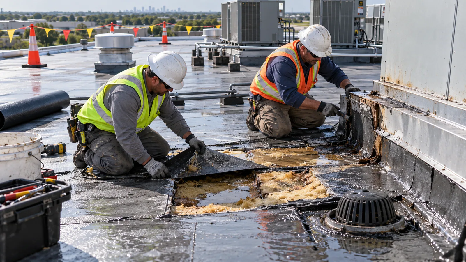
The strongest inspection combines the aerial view with a ground plan and hands-on review. We use images to identify roof zones, then inspect selected seams, penetrations, edges and drainage points from a safe access route. A close view can direct attention to a loose termination, but surface contact helps determine whether it is actually open. We add Diligence Notes to the image record instead of treating a single photograph as a repair diagnosis.
Drainage is one example. An overhead image may show where water remains, while a roof walk can check strainers, scuppers, drain bowls and nearby slopes. Heavy rain makes the roof outlet and overflow routes relevant to examine, with ground-level tidal flooding considered separately where it affects access or discharge. The aerial view can help map the route, but it cannot establish why a drain is slow or whether a hidden connection is blocked. The follow-up check answers that part.
On a large or sectioned roof, the image set can guide a representative inspection path and reveal areas missed during earlier maintenance. Carlyle and Eisenhower East office blocks include active mixed-use properties, so route planning may also reduce repeated rooftop visits. Images can support a hands-on roof inspection by showing where access is most useful and which zones need notes in the final report.
Respect the Limits of Aerial Evidence
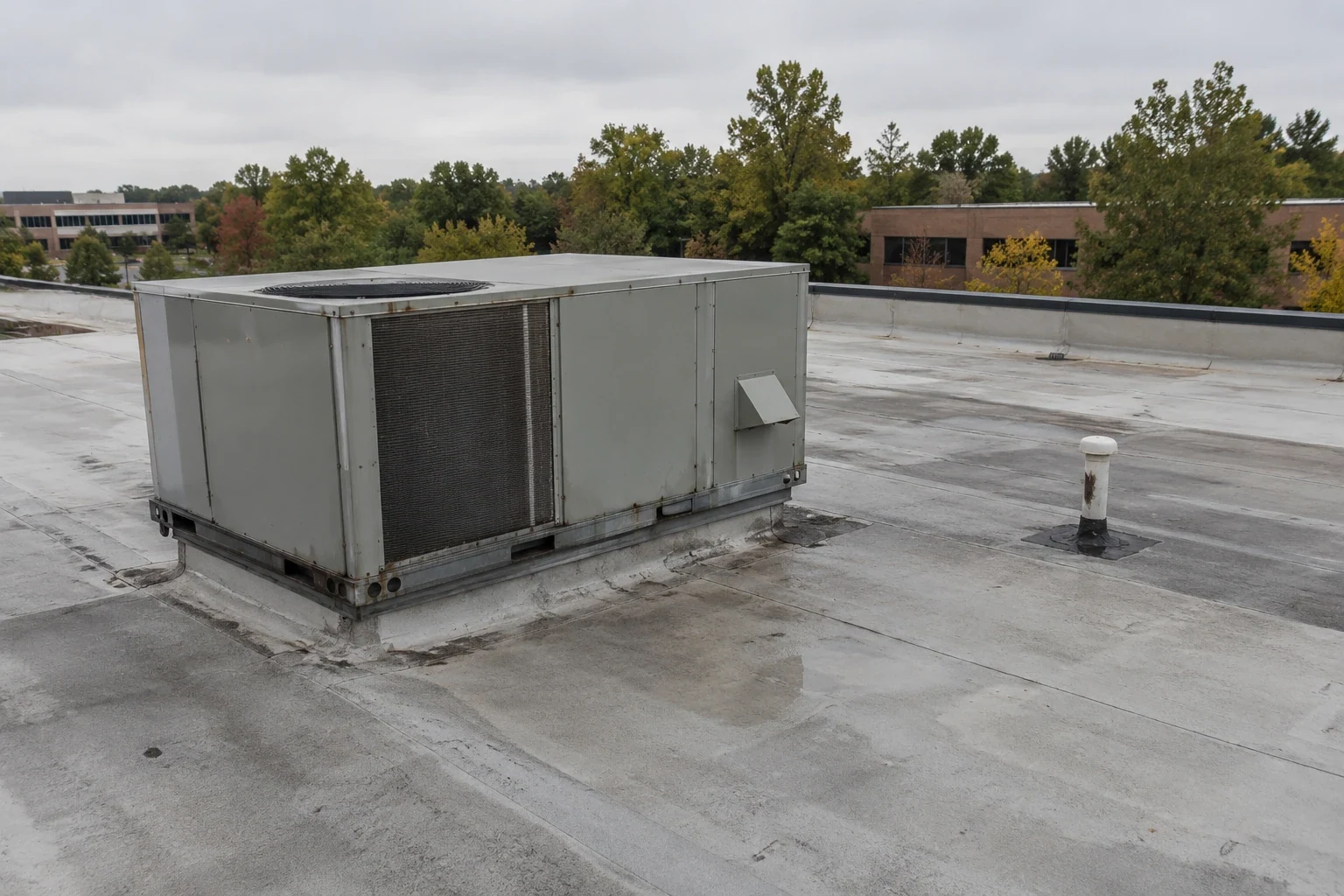
Images vary with flight height, sun angle, shadows, surface color and camera resolution. A shadow beside an HVAC unit can resemble a dark membrane defect. A wet area can disappear after the surface dries, and a crack may not be visible from above. We record the flight date and conditions and avoid assigning a cause until the physical detail is inspected. When roof drawings or prior inspection records are available, they help relate the image to drains, expansion joints and equipment.
Bright sunlight can produce glare from a reflective roof surface; wind affects collection, and winter moisture or snow can hide details. Washington National Airport's 1991-2020 record gives a July normal high of 89.6°F as regional summer-heat context for exposed work. Sun angle, roof reflectivity and image conditions are examined when interpreting a view. We direct suspected defects to a closer field check rather than diagnose them from glare or a shadow.
A drone view also does not replace code review, close-up attachment checks or a moisture test. Alexandria construction projects use the 2021 Virginia Codes; applicable requirements depend on the project and proposed work. If an image suggests damage near an edge or penetration, we state the area for hands-on verification before recommending a repair. A wind damage review may be appropriate when visible displacement needs closer assessment.
Turn the Flight Into a Work Plan
The deliverable can include annotated roof images, zone labels, notes on visible conditions, areas needing access and recommended follow-up checks. For a bidding team, this can clarify where a lift, escort or interior check is needed. Images do not replace a written scope, but give it a visual reference.
Where the flight identifies several priorities, findings can be separated into active leak investigation, maintenance, repair and additional testing. The owner can then schedule the critical opening first and defer lower-priority work when access or operations require phasing. This is useful for office and institutional facilities where rooftop equipment shutdowns and tenant communications need coordination. We identify assumptions about access and note any roof section that remained outside the flight.
For construction near Old Town North, where commercial and retail uses sit alongside redevelopment of the former generating station site, work planning should reflect the specific building and contact. We confirm staging and operating constraints at the address. A roof condition report can bring the aerial images and hands-on findings together for later budgeting and maintenance decisions.
Choose Imaging for the Right Question
Drone inspection is most useful when a roof is expansive, access is constrained or a map will direct the next inspection. It cannot confirm a seam weld or wet insulation. Hands-on checks are more direct for those questions, though a combined scope can provide both forms of evidence.
North Potomac Yard includes Virginia Tech’s academic campus and approved office blocks, while Landmark redevelopment includes planned medical facilities. For active institutional properties, advance coordination can identify flight windows and restricted areas. The site contact can also share roof plans or known repair locations to improve image labeling. We do not assume that a campus or healthcare name determines roof size, material or access procedure.
Commercial Roofing Services
Commercial Roofing Questions
Can drone images find a roof leak?
Images can show visible openings, ponding, debris or an area that merits closer review. They cannot follow water beneath the membrane or confirm a hidden seam failure. We use the images to focus a hands-on leak investigation, then document the entry point and repair boundary from physical evidence.
Does a drone inspection replace walking the roof?
No. A flight maps visible conditions and helps plan a route, while a roof walk can test seams, flashing and surface details. If the assembly needs moisture confirmation, an infrared survey or test opening may be necessary. The report identifies which method supports each finding.
Can you image a roof with rooftop equipment and parapets?
We plan the flight around the building layout and note blind areas caused by equipment, walls or overhangs. The camera may show a zone from above without capturing a detail hidden behind a curb or tall screen. We mark those limits and coordinate hands-on access if the concealed area affects the repair decision.
What makes a drone roof inspection useful for a bid?
Labeled images can show the same roof zones to the owner and bidding team, helping define access, staging and areas to inspect. The images are strongest when paired with a written scope and Diligence Notes. They do not establish hidden damage or dictate a repair method without close-up review.
When should we choose infrared instead of drone imaging?
Choose infrared when the question is whether a roof area may hold concealed moisture under suitable survey conditions. Choose drone imaging when broad visual coverage or access planning is the main need. A suspected wet area may need both a thermal scan and a test opening; the methods answer different questions.
Map the Roof Before the Next Step
Send the Alexandria address, roof plans if available, the inspection question and any access or operating constraints. We will confirm whether aerial imaging, hands-on inspection or a combined survey best fits the decision.